City Cheshire County · New Hampshire
Drewsville, NH
43.1281°N72.3925°W
- Primary ZIP
- 03604
- ZIP codes
- 1
- Nearest place
- North Walpole 3.0 mi WNW
- Local time
- EDT · Saturday
- County
- Cheshire County
About Drewsville
Nearby places
- North WalpoleCheshire County · ZIP 03609 3.0 mi WNW
- AlsteadCheshire County · ZIP 03602 3.3 mi E
- WalpoleCheshire County · ZIP 03608 3.7 mi SSW
- Westminster Station, VTWindham County · ZIP 05159 3.8 mi SW
- Bellows Falls, VTWindham County · ZIP 05101 4.0 mi WNW
- South AcworthSullivan County · ZIP 03607 4.3 mi NE
- Westminster, VTWindham County · ZIP 05158 5.4 mi SW
- Saxtons River, VTWindham County · ZIP 05154 5.9 mi W
- AcworthSullivan County · ZIP 03601 8.0 mi NE
- GilsumCheshire County · ZIP 03448 8.8 mi SE
- Putney, VTWindham County · ZIP 05346 8.8 mi SW
- Cambridgeport, VTWindham County · ZIP 05141 8.9 mi WNW
- CharlestownSullivan County · ZIP 03603 9.0 mi N
- MarlowCheshire County · ZIP 03456 9.2 mi E
- Grafton, VTWindham County · ZIP 05146 11 mi WNW
- WestmorelandCheshire County · ZIP 03467 11 mi SSW
- Springfield, VTWindsor County · ZIP 05156 13 mi NNW
- LempsterSullivan County · ZIP 03605 13 mi ENE
- SullivanCheshire County · ZIP 03445 14 mi SE
- KeeneCheshire County · ZIP 03431 14 mi SSE
Weather in Drewsville
Getting the latest National Weather Service report for Drewsville…
You can also open the forecast on weather.gov.
News for Drewsville
-
Elsewhere in New Hampshire
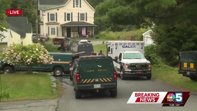
Heavy police presence in St. Johnsbury: officials advise residents to avoid Costa Avenue
The St. Johnsbury Police Department, Lyndonville Police Department, and Vermont State Police all responded to the scene.
-
Elsewhere in New Hampshire
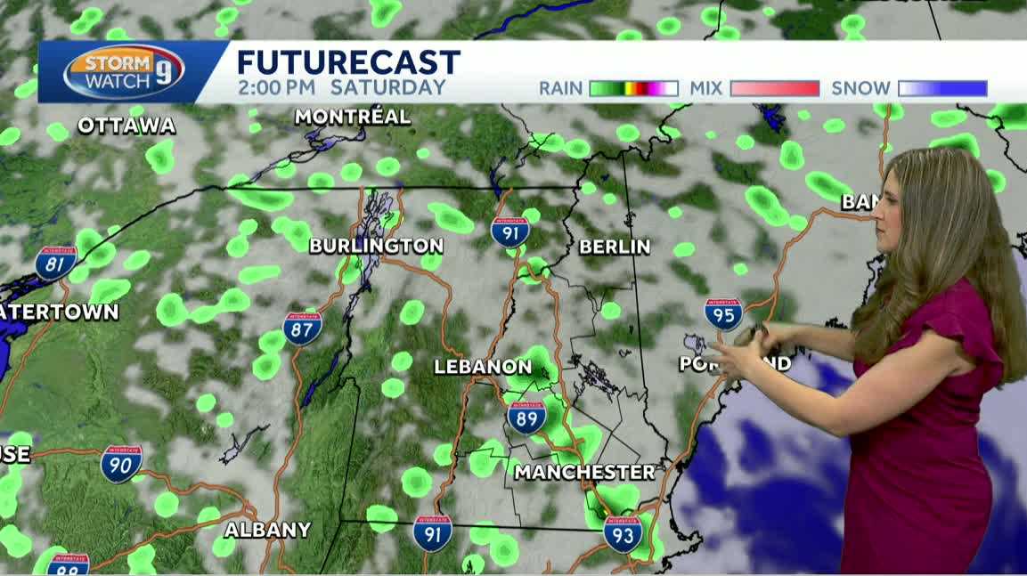
Video: Showers possible over the holiday weekend
Spot showers possible today. Jacqueline Thomas says highs will reach into the 80s today for some.
-
Elsewhere in New Hampshire
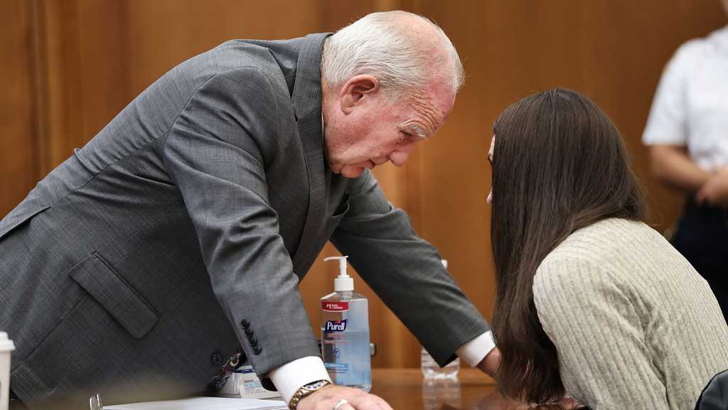
Lindsay Clancy deliberations continue after request to remove juror rejected
After a dramatic afternoon in the courtroom, jurors in the Lindsay Clancy trial are scheduled to resume Friday.
Stories are matched to places by what they name: a city and state, a county, a ZIP code or the publisher's home area. Headlines open on the publisher's site.
Local services in Drewsville
+ Add a businessNo businesses are listed for Drewsville yet.
Know a plumber, mechanic, food truck or shop that works here? Add it and it appears after a quick review.
ZIP codes for Drewsville
More places in Cheshire County
Drewsville within New Hampshire
Local advertising
Reach people looking at Drewsville
A paid spot on this page, run through SpiderTaz Network local advertising. Free business listings stay in Local services.