
City Cheshire County · New Hampshire
Alstead, NH
43.1265°N72.3281°W
- Primary ZIP
- 03602
- ZIP codes
- 1
- Nearest place
- Drewsville 3.3 mi W
- Local time
- EDT · Saturday
- County
- Cheshire County

About Alstead
Nearby places
- DrewsvilleCheshire County · ZIP 03604 3.3 mi W
- South AcworthSullivan County · ZIP 03607 3.5 mi N
- WalpoleCheshire County · ZIP 03608 5.6 mi SW
- MarlowCheshire County · ZIP 03456 5.9 mi E
- North WalpoleCheshire County · ZIP 03609 6.2 mi W
- Westminster Station, VTWindham County · ZIP 05159 6.3 mi WSW
- AcworthSullivan County · ZIP 03601 6.6 mi NNE
- GilsumCheshire County · ZIP 03448 6.6 mi SSE
- Bellows Falls, VTWindham County · ZIP 05101 7.1 mi WNW
- Westminster, VTWindham County · ZIP 05158 7.8 mi WSW
- Saxtons River, VTWindham County · ZIP 05154 9.1 mi W
- CharlestownSullivan County · ZIP 03603 9.9 mi NNW
- LempsterSullivan County · ZIP 03605 10 mi NE
- Putney, VTWindham County · ZIP 05346 11 mi SW
- SullivanCheshire County · ZIP 03445 11 mi SE
- StoddardCheshire County · ZIP 03464 12 mi ESE
- Cambridgeport, VTWindham County · ZIP 05141 12 mi W
- WestmorelandCheshire County · ZIP 03467 12 mi SSW
- KeeneCheshire County · ZIP 03431 13 mi S
- WashingtonSullivan County · ZIP 03280 13 mi ENE
Weather in Alstead
Getting the latest National Weather Service report for Alstead…
You can also open the forecast on weather.gov.
News for Alstead
-
Elsewhere in New Hampshire
An unknown ‘wild animal’ has been attacking people in this NH town
The animal is likely an “unusually aggressive” gray fox or fisher cat, say Lebanon, New Hampshire police officials.
-
Elsewhere in New Hampshire
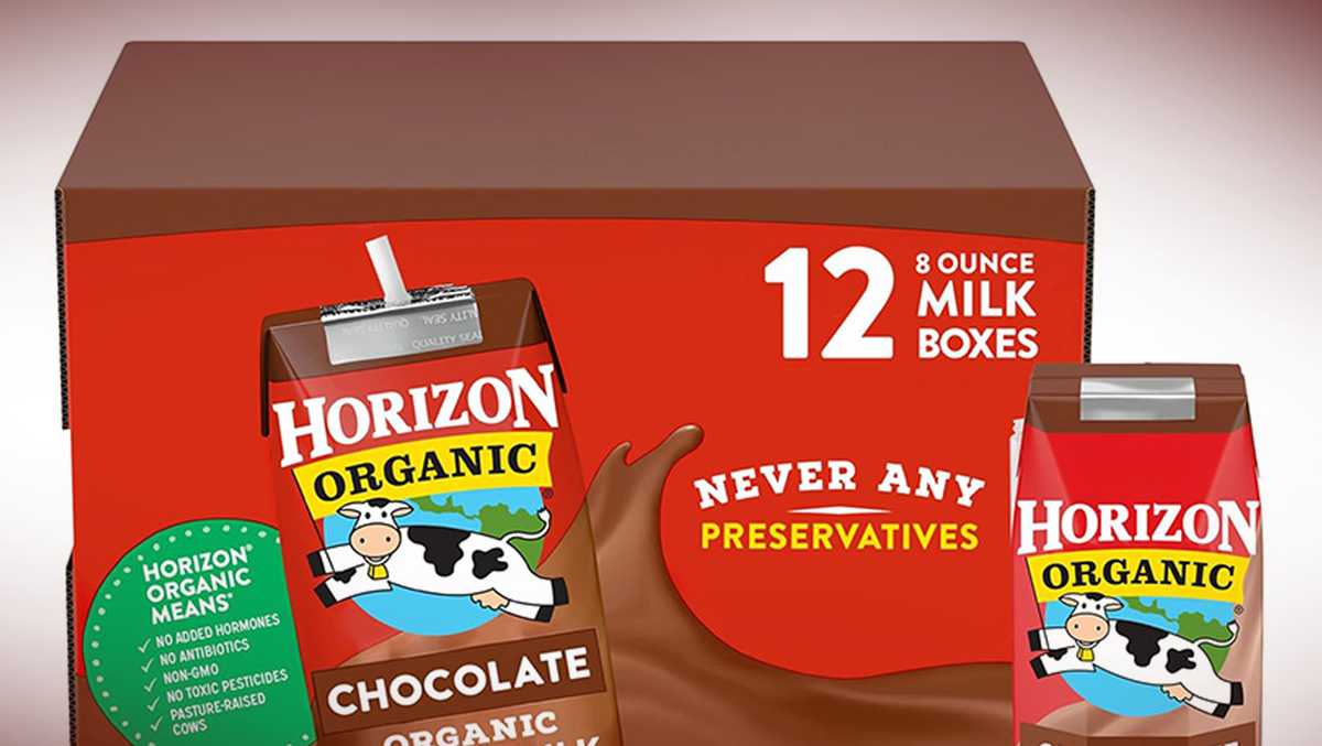
Nearly 54,000 cases of popular chocolate milk recalled amid reports of ‘unpleasant’ smell, taste
Nearly 54,000 cases of popular chocolate milk have been recalled after customers reported bloated cartons and an unpleasant smell, taste or texture.
-
Elsewhere in New Hampshire
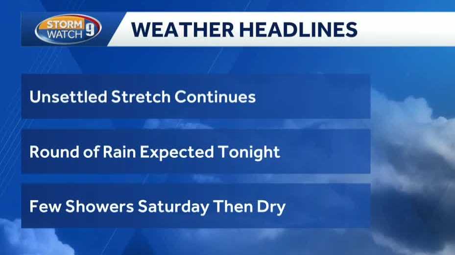
Video: Wet weather continues; rain expected overnight
Highs will be in the 60s to near 70 today. Kevin Skarupa says we could see a soaking rain overnight and into Thursday morning.
Stories are matched to places by what they name: a city and state, a county, a ZIP code or the publisher's home area. Headlines open on the publisher's site.
Local services in Alstead
+ Add a businessNo businesses are listed for Alstead yet.
Know a plumber, mechanic, food truck or shop that works here? Add it and it appears after a quick review.
ZIP codes for Alstead
More places in Cheshire County
Alstead within New Hampshire
Local advertising
Reach people looking at Alstead
A paid spot on this page, run through SpiderTaz Network local advertising. Free business listings stay in Local services.