
City Pottawattamie County · Iowa
Treynor, IA
41.2207°N95.6170°W
- Primary ZIP
- 51575
- ZIP codes
- 1
- Nearest place
- Mc Clelland 6.0 mi NNW
- Local time
- CDT · Saturday
- County
- Pottawattamie County

About Treynor
Nearby places
- Mc ClellandPottawattamie County · ZIP 51548 6.0 mi NNW
- Silver CityMills County · ZIP 51571 7.5 mi S
- UnderwoodPottawattamie County · ZIP 51576 9.7 mi N
- MacedoniaPottawattamie County · ZIP 51549 9.9 mi ESE
- MineolaMills County · ZIP 51554 11 mi SW
- HendersonMills County · ZIP 51541 11 mi SE
- CarsonPottawattamie County · ZIP 51525 13 mi E
- GlenwoodMills County · ZIP 51534 14 mi SSW
- OaklandPottawattamie County · ZIP 51560 14 mi ENE
- Council BluffsPottawattamie County · ZIP 51502 14 mi W
- CrescentPottawattamie County · ZIP 51526 15 mi NW
- MalvernMills County · ZIP 51551 15 mi S
- Bellevue, NESarpy County · ZIP 68147 16 mi WSW
- Carter LakePottawattamie County · ZIP 51510 16 mi WNW
- Pacific JunctionMills County · ZIP 51561 17 mi SW
- NeolaPottawattamie County · ZIP 51559 17 mi N
- Omaha, NEDouglas County · ZIP 68101 17 mi W
- EmersonMills County · ZIP 51533 17 mi SE
- MindenPottawattamie County · ZIP 51553 17 mi NNE
- HancockPottawattamie County · ZIP 51536 18 mi NE
Weather in Treynor
Getting the latest National Weather Service report for Treynor…
You can also open the forecast on weather.gov.
News for Treynor
-

Elsewhere in Iowa
Matt Campbell’s rise to Penn State
From his early playing days at Division III Mount Union to becoming Iowa State’s winningest head coach, Matt Campbell has built a career that has prepared him for his highest-prof…
-
Elsewhere in Iowa
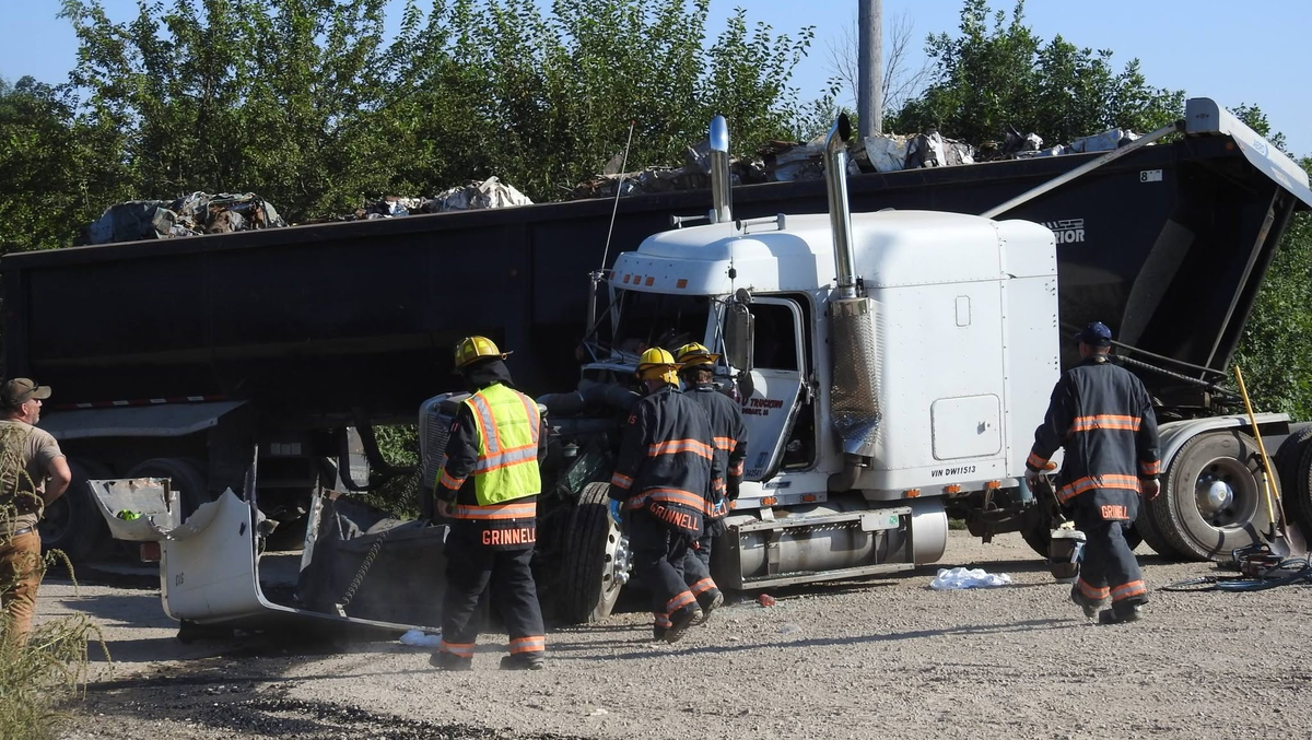
Semi-truck driver injured in train crash in Iowa, flown by helicopter to Des Moines
A semi-truck driver had to be extricated after a westbound train hit his truck near Grinnell Tuesday afternoon.
-
Elsewhere in Iowa
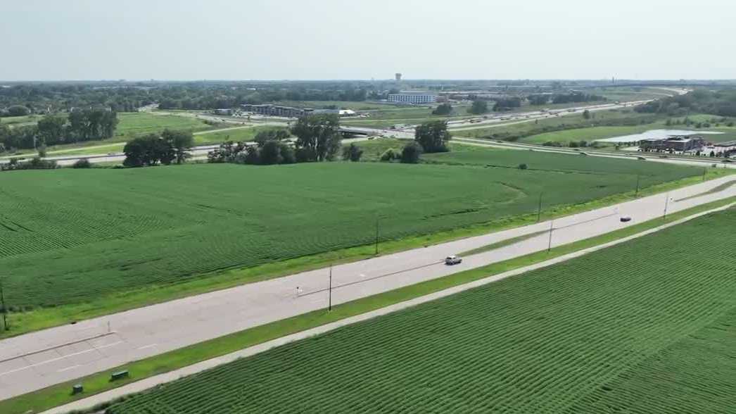
Urbandale City Council rejects land use change for proposed Buc-ee's
Traffic worries stalled Buc-ee's plans in Iowa, where the city council rejected a land use change for the proposed travel center.
Stories are matched to places by what they name: a city and state, a county, a ZIP code or the publisher's home area. Headlines open on the publisher's site.
Local services in Treynor
+ Add a businessNo businesses are listed for Treynor yet.
Know a plumber, mechanic, food truck or shop that works here? Add it and it appears after a quick review.
ZIP codes for Treynor
More places in Pottawattamie County
Treynor within Iowa
Local advertising
Reach people looking at Treynor
A paid spot on this page, run through SpiderTaz Network local advertising. Free business listings stay in Local services.