
City Franklin County · Vermont
Bakersfield, VT
44.7905°N72.7968°W
- Primary ZIP
- 05441
- ZIP codes
- 1
- Nearest place
- East Fairfield 5.7 mi W
- Local time
- EDT · Saturday
- County
- Franklin County


About Bakersfield
Nearby places
- East FairfieldFranklin County · ZIP 05448 5.7 mi W
- WatervilleLamoille County · ZIP 05492 5.7 mi SSE
- Belvidere CenterLamoille County · ZIP 05442 5.9 mi ESE
- Enosburg FallsFranklin County · ZIP 05450 7.5 mi N
- JeffersonvilleLamoille County · ZIP 05464 8.9 mi S
- SheldonFranklin County · ZIP 05483 10 mi NW
- CambridgeChittenden County · ZIP 05444 10 mi SSW
- East BerkshireFranklin County · ZIP 05447 11 mi NNE
- MontgomeryFranklin County · ZIP 05470 11 mi NE
- EdenLamoille County · ZIP 05652 11 mi ESE
- FairfieldFranklin County · ZIP 05455 11 mi W
- Montgomery CenterFranklin County · ZIP 05471 11 mi ENE
- Sheldon SpringsFranklin County · ZIP 05485 12 mi NW
- JohnsonLamoille County · ZIP 05656 12 mi SSE
- North Hyde ParkLamoille County · ZIP 05665 13 mi SE
- FranklinFranklin County · ZIP 05457 13 mi NNW
- FairfaxChittenden County · ZIP 05454 13 mi WSW
- RichfordFranklin County · ZIP 05476 14 mi NNE
- Saint AlbansFranklin County · ZIP 05478 14 mi W
- Highgate CenterFranklin County · ZIP 05459 15 mi NW
Weather in Bakersfield
Getting the latest National Weather Service report for Bakersfield…
You can also open the forecast on weather.gov.
News for Bakersfield
-
Elsewhere in Vermont
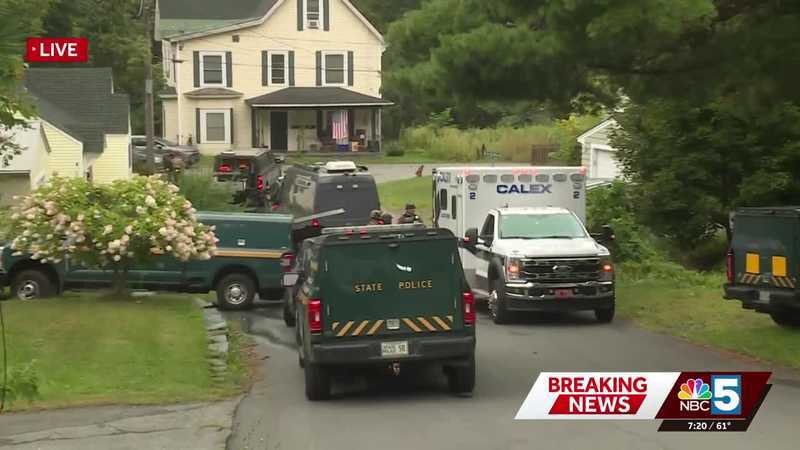
Heavy police presence in St. Johnsbury: officials advise residents to avoid Costa Avenue
The St. Johnsbury Police Department, Lyndonville Police Department, and Vermont State Police all responded to the scene.
-

Elsewhere in Vermont
The National Trust for Local News expands to Vermont with acquisition of five publications
The National Trust for Local News is expanding to a fourth state with the acquisition of the Vermont Community Newspaper Group, a family of award-winning weekly newspapers and dig…
Stories are matched to places by what they name: a city and state, a county, a ZIP code or the publisher's home area. Headlines open on the publisher's site.
Local services in Bakersfield
+ Add a businessNo businesses are listed for Bakersfield yet.
Know a plumber, mechanic, food truck or shop that works here? Add it and it appears after a quick review.
ZIP codes for Bakersfield
More places in Franklin County
Bakersfield within Vermont
Local advertising
Reach people looking at Bakersfield
A paid spot on this page, run through SpiderTaz Network local advertising. Free business listings stay in Local services.