
City Page County · Virginia
Luray, VA
38.6548°N78.4596°W
- Primary ZIP
- 22835
- ZIP codes
- 1
- Nearest place
- Stanley 6.7 mi SSW
- Local time
- EDT · Saturday
- County
- Page County


About Luray
Nearby places
- StanleyPage County · ZIP 22851 6.7 mi SSW
- RileyvillePage County · ZIP 22650 8.0 mi NNE
- New MarketShenandoah County · ZIP 22844 11 mi W
- SperryvilleRappahannock County · ZIP 22740 12 mi ESE
- Fort ValleyShenandoah County · ZIP 22652 12 mi N
- SyriaMadison County · ZIP 22743 13 mi SE
- ShenandoahPage County · ZIP 22849 13 mi SW
- QuicksburgShenandoah County · ZIP 22847 14 mi WNW
- Mount JacksonShenandoah County · ZIP 22842 14 mi NW
- EtlanMadison County · ZIP 22719 15 mi SE
- EdinburgShenandoah County · ZIP 22824 15 mi NNW
- BentonvilleWarren County · ZIP 22610 15 mi NE
- WoodvilleRappahannock County · ZIP 22749 15 mi E
- WoodstockShenandoah County · ZIP 22664 16 mi NNW
- WashingtonRappahannock County · ZIP 22747 17 mi ENE
- TimbervilleRockingham County · ZIP 22853 17 mi W
- BancoMadison County · ZIP 22711 17 mi SE
- BroadwayRockingham County · ZIP 22815 18 mi W
- Lacey SpringRockingham County · ZIP 22833 18 mi WSW
- CastletonRappahannock County · ZIP 22716 19 mi E
Weather in Luray
Getting the latest National Weather Service report for Luray…
You can also open the forecast on weather.gov.
News for Luray
-

Elsewhere in Virginia
Massachusetts primary results bring 'no surprises' but a sharp rebuke for Moulton, analysts say
Political commentators Virginia Buckingham and Mary Anne Marsh react to the outcome of the Massachusetts primary election, including Sen. Ed Markey's victory over Rep. Seth Moulto…
-
Elsewhere in Virginia
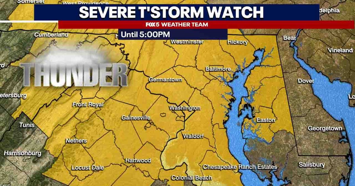
DC weather: Severe Thunderstorm Watch in effect for much of DMV; Heat Advisory for parts of Virginia
A Severe Thunderstorm Watch is in effect for Washington, D.C. and much of the surrounding parts of Maryland and Virginia Wednesday as hot and humid conditions continue, with highs…
-
Elsewhere in Virginia
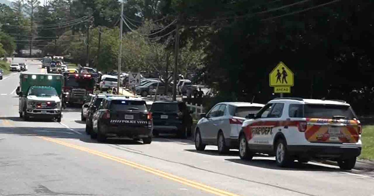
Virginia elementary school evacuated following reported shooting incident
Police in Virginia say they responded to an emergency at an elementary school Wednesday morning, prompting an evacuation of students and staff.
Stories are matched to places by what they name: a city and state, a county, a ZIP code or the publisher's home area. Headlines open on the publisher's site.
Local services in Luray
+ Add a businessNo businesses are listed for Luray yet.
Know a plumber, mechanic, food truck or shop that works here? Add it and it appears after a quick review.
ZIP codes for Luray
More places in Page County
Luray within Virginia
Local advertising
Reach people looking at Luray
A paid spot on this page, run through SpiderTaz Network local advertising. Free business listings stay in Local services.