City Clay County · Texas
Petrolia, TX
34.0273°N98.2692°W
- Primary ZIP
- 76377
- ZIP codes
- 1
- Nearest place
- Byers 5.8 mi ENE
- Local time
- County
- Clay County

About Petrolia
Nearby places
- ByersClay County · ZIP 76357 5.8 mi ENE
- Sheppard AfbWichita County · ZIP 76311 14 mi WSW
- HenriettaClay County · ZIP 76365 14 mi S
- Randlett, OKCotton County · ZIP 73562 15 mi NW
- Wichita FallsWichita County · ZIP 76305 16 mi WSW
- Temple, OKCotton County · ZIP 73568 16 mi N
- Hastings, OKJefferson County · ZIP 73548 16 mi NE
- BurkburnettWichita County · ZIP 76354 18 mi WNW
- Ryan, OKJefferson County · ZIP 73565 19 mi E
- Waurika, OKJefferson County · ZIP 73573 19 mi ENE
- Devol, OKCotton County · ZIP 73531 21 mi WNW
- Terral, OKJefferson County · ZIP 73569 21 mi ESE
- Addington, OKJefferson County · ZIP 73520 23 mi NE
- Walters, OKCotton County · ZIP 73572 23 mi N
- RinggoldMontague County · ZIP 76261 24 mi SE
- Iowa ParkWichita County · ZIP 76367 24 mi WSW
- BluegroveClay County · ZIP 76352 25 mi S
- Grandfield, OKTillman County · ZIP 73546 28 mi WNW
- ScotlandArcher County · ZIP 76379 28 mi SSW
- Comanche, OKStephens County · ZIP 73529 29 mi NE
Weather in Petrolia
Getting the latest National Weather Service report for Petrolia…
You can also open the forecast on weather.gov.
News for Petrolia
-
Elsewhere in Texas
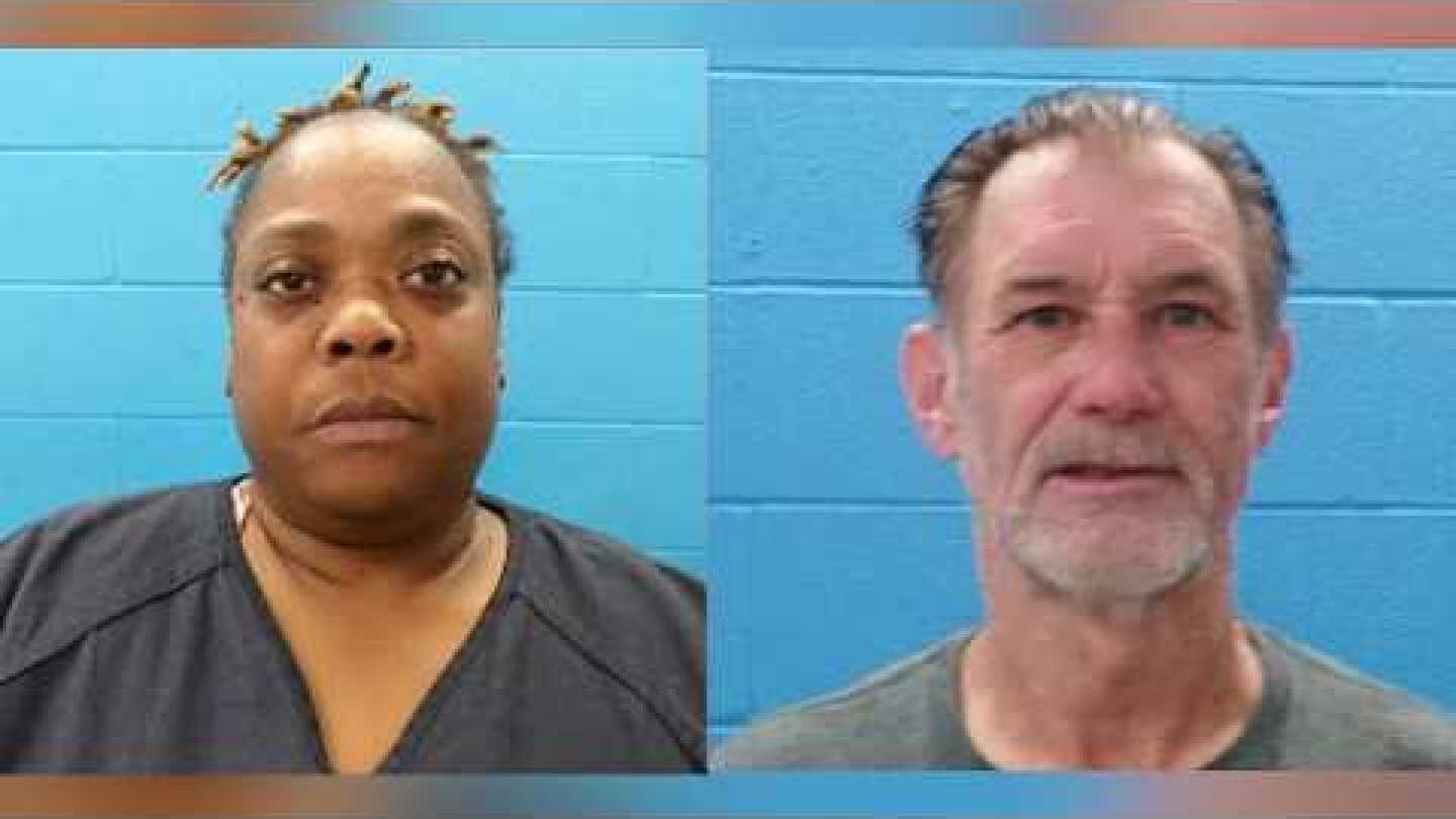
Suspects attack Texas deputy, attempt to take his TASER, choke him with radio cord
The Guadalupe County deputy was responding to a report of a suspected break-in when a man and a woman attacked him
-

Elsewhere in Texas
Man running to represent Douglas County in Colorado legislature arrested for public intoxication
Christian Schilder, a Lone Tree Democrat running for a seat in Colorado’s House of Representatives, was arrested in Texas for public intoxication.
-

Elsewhere in Texas
Edouard, now a depression, still poses flood threat over Texas; Dolly’s remnants head toward Florida
The former Tropical Storm Edouard was unleashing heavy rains and strong winds on parts of Texas, knocking out power to thousands, toppling trees and flooding roads.
Stories are matched to places by what they name: a city and state, a county, a ZIP code or the publisher's home area. Headlines open on the publisher's site.
Local services in Petrolia
+ Add a businessNo businesses are listed for Petrolia yet.
Know a plumber, mechanic, food truck or shop that works here? Add it and it appears after a quick review.
ZIP codes for Petrolia
More places in Clay County
Petrolia within Texas
Local advertising
Reach people looking at Petrolia
A paid spot on this page, run through SpiderTaz Network local advertising. Free business listings stay in Local services.