County South Carolina
Charleston County, SC
Center of places 32.7965°N79.9567°W
- Places
- 14
- ZIP codes
- 36
- Nearest neighbor
- Berkeley County
- State
- South Carolina
Places in Charleston County
 Adams RunZIP 29426
 AwendawZIP 29429
 CharlestonZIP 29401
 Charleston AfbZIP 29404
 Folly BeachZIP 29439
 HollywoodZIP 29449
 Isle Of PalmsZIP 29451
 Johns IslandZIP 29455
 Mc ClellanvilleZIP 29458
 Mount PleasantZIP 29464
 North CharlestonZIP 29405
 RavenelZIP 29470
 Sullivans IslandZIP 29482
 Wadmalaw IslandZIP 29487
Weather in Charleston County
For the center of the county's recorded places; conditions can differ across the county.
Getting the latest National Weather Service report for Charleston County…
You can also open the forecast on weather.gov.
News for Charleston County
-
Names Charleston County
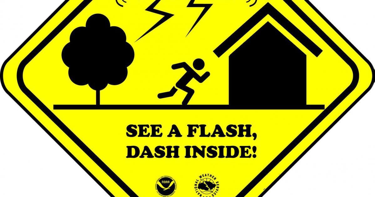
Hurricane prep brings extra challenges for those with disabilities in the Charleston area
For Charleston County residents with disabilities, evacuation can mean finding accessible transportation, shelters with backup power and emergency alerts that don’t rely on sound.…
Stories are matched to places by what they name: a city and state, a county, a ZIP code or the publisher's home area. Headlines open on the publisher's site.
Local services in Charleston County
+ Add a businessNo businesses are listed for Charleston County yet.
Know a plumber, mechanic, food truck or shop that works here? Add it and it appears after a quick review.
ZIP codes in Charleston County
Neighboring countys
- Berkeley County33 places 19 mi N
- Dorchester County15 places 25 mi NW
- Colleton County12 places 42 mi W
- Beaufort County19 places 54 mi WSW
- Georgetown County4 places 57 mi NE
- Williamsburg County7 places 60 mi N
- Orangeburg County18 places 66 mi NW
- Clarendon County8 places 67 mi N
- Jasper County5 places 68 mi WSW
- Hampton County13 places 68 mi W
Distances run between the centers of each area's recorded places.