City Coshocton County · Ohio
Walhonding, OH
40.3620°N82.2094°W
- Primary ZIP
- 43843
- ZIP codes
- 1
- Nearest place
- Bladensburg 6.7 mi SW
- Local time
- EDT · Saturday
- County
- Coshocton County


About Walhonding
Nearby places
- BladensburgKnox County · ZIP 43005 6.7 mi SW
- DanvilleKnox County · ZIP 43014 7.1 mi NNW
- BrinkhavenKnox County · ZIP 43006 7.2 mi NNE
- HowardKnox County · ZIP 43028 7.5 mi WNW
- WarsawCoshocton County · ZIP 43844 8.6 mi ESE
- GambierKnox County · ZIP 43022 9.2 mi W
- MartinsburgKnox County · ZIP 43037 10 mi SW
- GlenmontHolmes County · ZIP 44628 11 mi NNE
- BlissfieldCoshocton County · ZIP 43805 13 mi ENE
- UticaLicking County · ZIP 43080 13 mi SW
- Saint LouisvilleLicking County · ZIP 43071 15 mi SSW
- Mount VernonKnox County · ZIP 43050 15 mi W
- KillbuckHolmes County · ZIP 44637 15 mi NE
- ButlerRichland County · ZIP 44822 16 mi NW
- FrazeysburgMuskingum County · ZIP 43822 16 mi SSE
- NashvilleHolmes County · ZIP 44661 17 mi NNE
- HomerLicking County · ZIP 43027 18 mi WSW
- KeeneCoshocton County · ZIP 43828 18 mi E
- TrinwayMuskingum County · ZIP 43842 19 mi SE
- LoudonvilleAshland County · ZIP 44842 19 mi N
Weather in Walhonding
Getting the latest National Weather Service report for Walhonding…
You can also open the forecast on weather.gov.
News for Walhonding
-
Elsewhere in Ohio
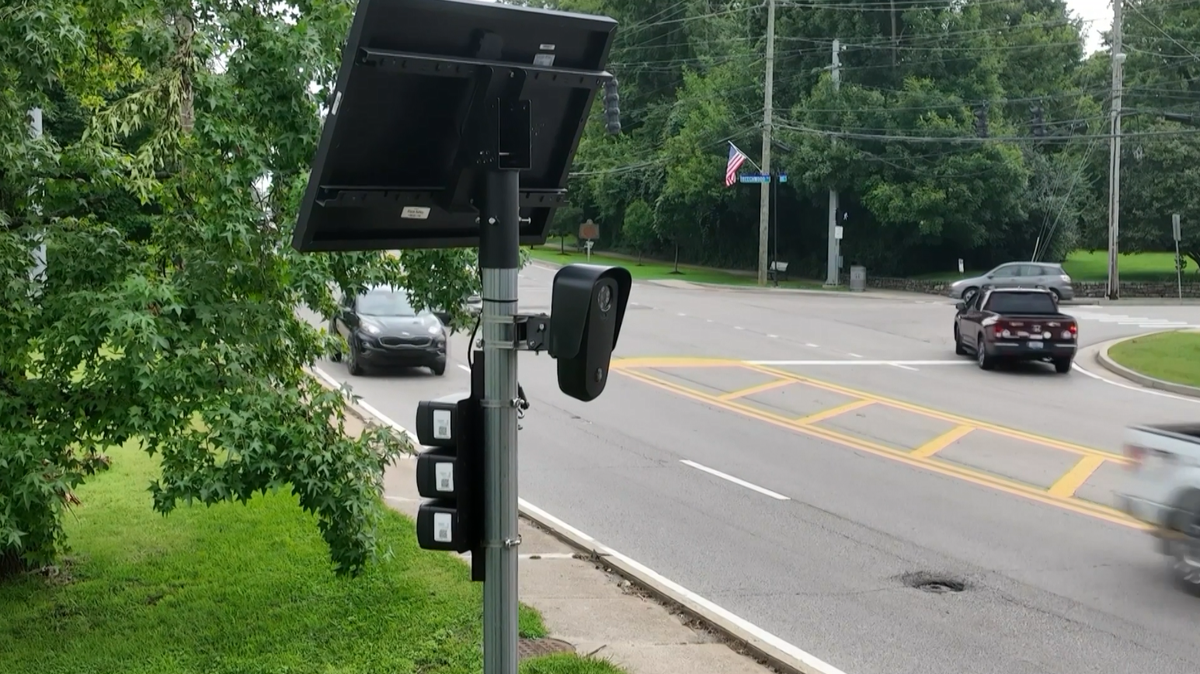
Butler County sheriff stands by use of Flock cameras: 'We use it to solve crimes'
Even as a growing number of communities in our area have announced a pause or end of Flock camera usage, Butler County's sheriff is standing behind the technology.
-

Elsewhere in Ohio
Trenton sends data center regulations to special election
A citizen-led initiative will appear on the November ballot in Trenton, allowing voters to decide whether to ban large-scale data centers after a ruling by the Ohio Supreme Court.
-
Elsewhere in Ohio
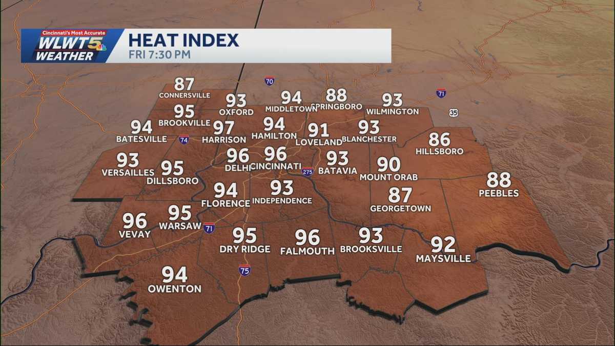
Heat advisory: Heat indices remain in triple digits, relief coming this weekend
Blazing heat will stick around for the first half of the long holiday weekend—but storms will soon bring some relief.
Stories are matched to places by what they name: a city and state, a county, a ZIP code or the publisher's home area. Headlines open on the publisher's site.
Local services in Walhonding
+ Add a businessNo businesses are listed for Walhonding yet.
Know a plumber, mechanic, food truck or shop that works here? Add it and it appears after a quick review.
ZIP codes for Walhonding
More places in Coshocton County
Walhonding within Ohio
Local advertising
Reach people looking at Walhonding
A paid spot on this page, run through SpiderTaz Network local advertising. Free business listings stay in Local services.