City Keith County · Nebraska
Lemoyne, NE
41.3040°N101.8947°W
- Primary ZIP
- 69146
- ZIP codes
- 1
- Nearest place
- Lewellen 13 mi WNW
- Local time
- County
- Keith County
About Lemoyne
Nearby places
- LewellenGarden County · ZIP 69147 13 mi WNW
- BruleKeith County · ZIP 69127 14 mi S
- KeystoneKeith County · ZIP 69144 14 mi ESE
- OgallalaKeith County · ZIP 69153 15 mi SE
- Big SpringsDeuel County · ZIP 69122 19 mi SSW
- ArthurArthur County · ZIP 69121 21 mi NNE
- OshkoshGarden County · ZIP 69154 25 mi WNW
- Julesburg, COSedgwick County · ZIP 80737 30 mi SW
- PaxtonKeith County · ZIP 69155 30 mi ESE
- ChappellDeuel County · ZIP 69129 32 mi WSW
- GrantPerkins County · ZIP 69140 33 mi SSE
- VenangoPerkins County · ZIP 69168 35 mi S
- Ovid, COSedgwick County · ZIP 80744 36 mi SW
- MadridPerkins County · ZIP 69150 36 mi SSE
- LiscoGarden County · ZIP 69148 37 mi WNW
- ElsiePerkins County · ZIP 69134 41 mi SE
- Sedgwick, COSedgwick County · ZIP 80749 43 mi SW
- Amherst, COPhillips County · ZIP 80721 45 mi SSW
- AshbyGrant County · ZIP 69333 47 mi N
- WhitmanGrant County · ZIP 69366 49 mi NNE
Weather in Lemoyne
Getting the latest National Weather Service report for Lemoyne…
You can also open the forecast on weather.gov.
News for Lemoyne
-
Elsewhere in Nebraska
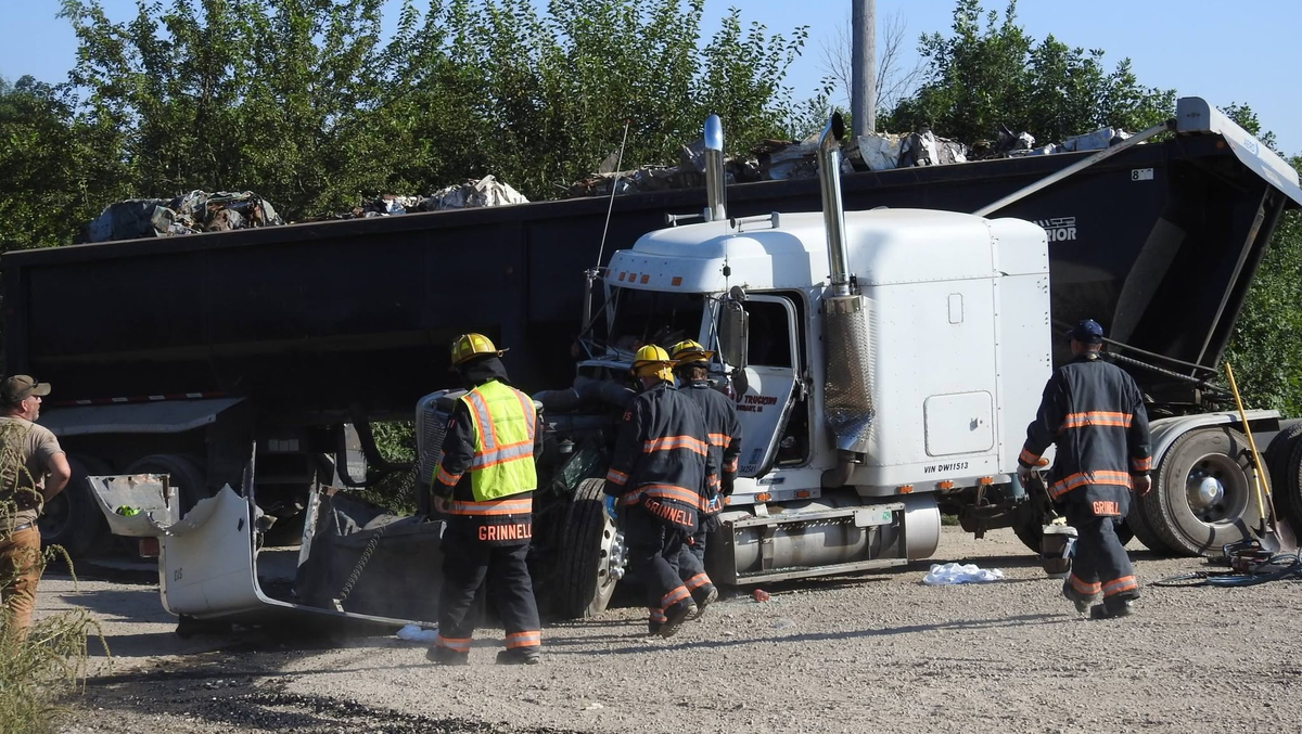
Semi-truck driver injured in train crash in Iowa, flown by helicopter to Des Moines
A semi-truck driver had to be extricated after a westbound train hit his truck near Grinnell Tuesday afternoon.
-
Elsewhere in Nebraska
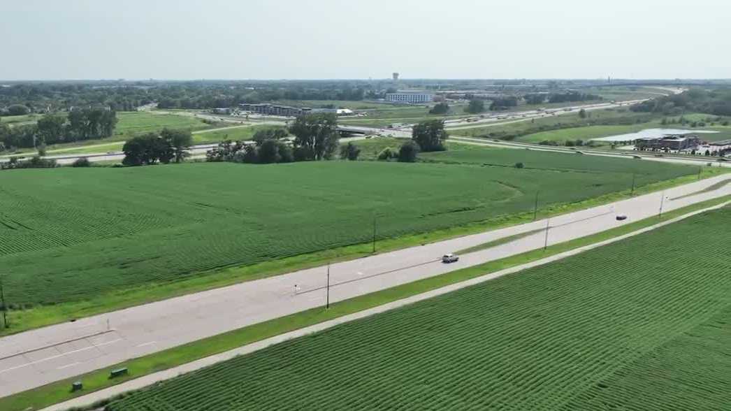
Urbandale City Council rejects land use change for proposed Buc-ee's
Traffic worries stalled Buc-ee's plans in Iowa, where the city council rejected a land use change for the proposed travel center.
-
Elsewhere in Nebraska
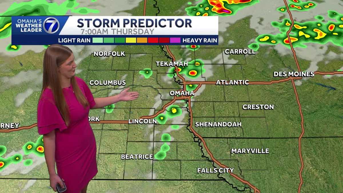
Heat advisory in effect as temperatures climb in Omaha
The heat sticks around across Omaha today, with temperatures climbing into the mid 90s and heat indices in the triple digits. A few showers or storms are possible tomorrow morning…
Stories are matched to places by what they name: a city and state, a county, a ZIP code or the publisher's home area. Headlines open on the publisher's site.
Local services in Lemoyne
+ Add a businessNo businesses are listed for Lemoyne yet.
Know a plumber, mechanic, food truck or shop that works here? Add it and it appears after a quick review.
ZIP codes for Lemoyne
More places in Keith County
Lemoyne within Nebraska
Local advertising
Reach people looking at Lemoyne
A paid spot on this page, run through SpiderTaz Network local advertising. Free business listings stay in Local services.