City Box Butte County · Nebraska
Alliance, NE
42.1149°N102.8880°W
- Primary ZIP
- 69301
- ZIP codes
- 1
- Nearest place
- Hemingford 17 mi NNW
- Local time
- County
- Box Butte County
About Alliance
Nearby places
- HemingfordBox Butte County · ZIP 69348 17 mi NNW
- AngoraMorrill County · ZIP 69331 18 mi SSW
- EllsworthSheridan County · ZIP 69340 22 mi E
- LakesideSheridan County · ZIP 69351 23 mi E
- BridgeportMorrill County · ZIP 69336 32 mi SSW
- BayardMorrill County · ZIP 69334 33 mi SW
- MarslandDawes County · ZIP 69354 34 mi NNW
- MinatareScotts Bluff County · ZIP 69356 36 mi WSW
- BroadwaterMorrill County · ZIP 69125 37 mi S
- Hay SpringsSheridan County · ZIP 69347 38 mi NNE
- McgrewScotts Bluff County · ZIP 69353 38 mi SW
- MelbetaScotts Bluff County · ZIP 69355 40 mi SW
- LiscoGarden County · ZIP 69148 45 mi SSE
- CrawfordDawes County · ZIP 69339 47 mi NW
- WhitneyDawes County · ZIP 69367 48 mi NNW
- RushvilleSheridan County · ZIP 69360 48 mi NNE
- ChadronDawes County · ZIP 69337 49 mi N
- DaltonCheyenne County · ZIP 69131 49 mi S
- OshkoshGarden County · ZIP 69154 54 mi SSE
- GordonSheridan County · ZIP 69343 59 mi NE
Weather in Alliance
Getting the latest National Weather Service report for Alliance…
You can also open the forecast on weather.gov.
News for Alliance
-

Elsewhere in Nebraska
Pick Six Podcast: Talking season is over — bold predictions, Colandrea’s ceiling & Nebraska’s trust tree
Kickoff is here! Sam McKewon, Evan Bland and Gary Sharp make their final bold predictions and depth chart thoughts before Nebraska gets rolling. What should we expect from Anthony…
-
Elsewhere in Nebraska
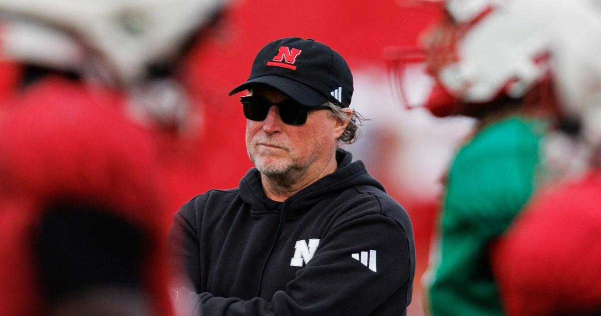
Shatel: Air Raid pirate Dana Holgorsen evolved, and Anthony Colandrea could right Nebraska's ship
Dana Holgorsen almost got kicked out of the Air Raid Club, but Nebraska
-
Elsewhere in Nebraska
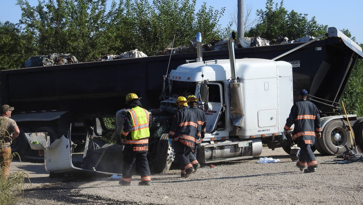
Semi-truck driver injured in train crash in Iowa, flown by helicopter to Des Moines
A semi-truck driver had to be extricated after a westbound train hit his truck near Grinnell Tuesday afternoon.
Stories are matched to places by what they name: a city and state, a county, a ZIP code or the publisher's home area. Headlines open on the publisher's site.
Local services in Alliance
+ Add a businessNo businesses are listed for Alliance yet.
Know a plumber, mechanic, food truck or shop that works here? Add it and it appears after a quick review.
ZIP codes for Alliance
More places in Box Butte County
Alliance within Nebraska
Local advertising
Reach people looking at Alliance
A paid spot on this page, run through SpiderTaz Network local advertising. Free business listings stay in Local services.