
City Pulaski County · Missouri
Devils Elbow, MO
37.8503°N92.0857°W
- Primary ZIP
- 65457
- ZIP codes
- 1
- Nearest place
- Saint Robert 5.2 mi WSW
- Local time
- CDT · Saturday
- County
- Pulaski County
About Devils Elbow
Nearby places
- Saint RobertPulaski County · ZIP 65584 5.2 mi WSW
- WaynesvillePulaski County · ZIP 65583 6.6 mi WSW
- Fort Leonard WoodPulaski County · ZIP 65473 6.6 mi SSW
- JeromePhelps County · ZIP 65529 7.3 mi NE
- DixonPulaski County · ZIP 65459 9.3 mi N
- NewburgPhelps County · ZIP 65550 12 mi ENE
- CrockerPulaski County · ZIP 65452 12 mi WNW
- Edgar SpringsPhelps County · ZIP 65462 13 mi SE
- DukePhelps County · ZIP 65461 14 mi SSE
- BrinktownMaries County · ZIP 65443 15 mi N
- LaqueyPulaski County · ZIP 65534 15 mi WSW
- RichlandPulaski County · ZIP 65556 17 mi W
- BeulahPhelps County · ZIP 65436 18 mi SE
- RollaPhelps County · ZIP 65409 19 mi ENE
- IberiaMiller County · ZIP 65486 22 mi NNW
- FalconLaclede County · ZIP 65470 22 mi SW
- Lake SpringDent County · ZIP 65532 23 mi ESE
- StoutlandLaclede County · ZIP 65567 23 mi W
- PlatoTexas County · ZIP 65552 24 mi SSW
- VichyMaries County · ZIP 65580 24 mi NE
Weather in Devils Elbow
Getting the latest National Weather Service report for Devils Elbow…
You can also open the forecast on weather.gov.
News for Devils Elbow
-
Elsewhere in Missouri
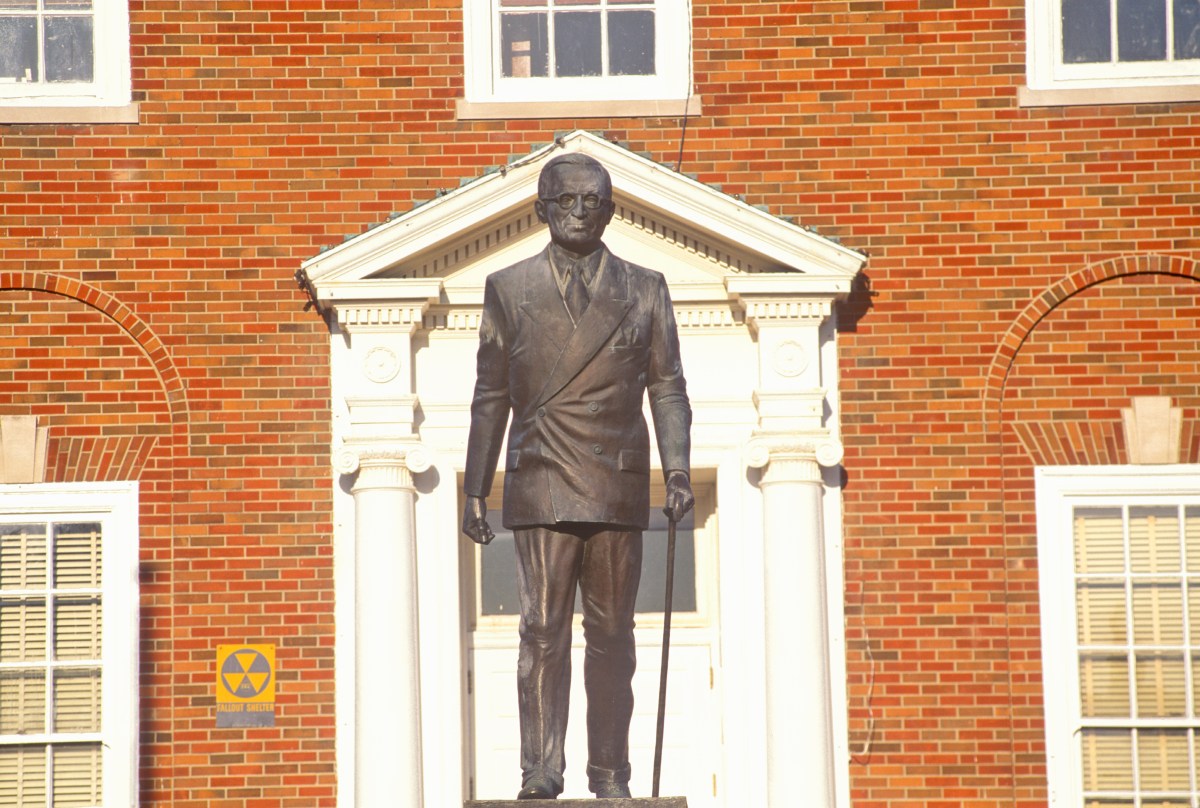
The Backstory on the Big AI Backlash in Independence, Missouri
As you can see in my most recent post, yesterday evening TPM Reader BC flagged this news out of Independence, Missouri, best known as the hometown of Harry…
-

Elsewhere in Missouri
Is the Data Center Backlash Just NIMBY Run Amok?
In response to my post about this data center backlash outside of Kansas City (specifically Independence, Missouri), I’ve been fielding the range of ideas…
-

Elsewhere in Missouri
Lionel Richie 'released from hospital' after falling ill during concert
Music icon Lionel Richie was rushed to hospital after becoming ill during a show in St. Louis, Missouri at the weekend but it's now understood that he has returned to his LA home
Stories are matched to places by what they name: a city and state, a county, a ZIP code or the publisher's home area. Headlines open on the publisher's site.
Local services in Devils Elbow
+ Add a businessNo businesses are listed for Devils Elbow yet.
Know a plumber, mechanic, food truck or shop that works here? Add it and it appears after a quick review.
ZIP codes for Devils Elbow
More places in Pulaski County
Devils Elbow within Missouri
Local advertising
Reach people looking at Devils Elbow
A paid spot on this page, run through SpiderTaz Network local advertising. Free business listings stay in Local services.