City Cecil County · Maryland
Charlestown, MD
39.5729°N75.9795°W
- Primary ZIP
- 21914
- ZIP codes
- 1
- Nearest place
- North East 2.6 mi NNE
- Local time
- EDT · Saturday
- County
- Cecil County
About Charlestown
Nearby places
- North EastCecil County · ZIP 21901 2.6 mi NNE
- PerryvilleCecil County · ZIP 21903 4.3 mi W
- Perry PointCecil County · ZIP 21902 5.1 mi WSW
- Port DepositCecil County · ZIP 21904 6.5 mi WNW
- Havre De GraceHarford County · ZIP 21078 7.5 mi W
- ChildsCecil County · ZIP 21916 7.6 mi NE
- ElktonCecil County · ZIP 21922 8.0 mi ENE
- Chesapeake CityCecil County · ZIP 21915 8.5 mi ESE
- Rising SunCecil County · ZIP 21911 8.8 mi NNW
- ColoraCecil County · ZIP 21917 9.0 mi NW
- Elk MillsCecil County · ZIP 21920 10 mi NE
- EarlevilleCecil County · ZIP 21919 10 mi SSE
- Aberdeen Proving GroundHarford County · ZIP 21005 11 mi SW
- AberdeenHarford County · ZIP 21001 12 mi WSW
- Lewisville, PAChester County · ZIP 19351 12 mi NNE
- ConowingoCecil County · ZIP 21918 12 mi NW
- Nottingham, PAChester County · ZIP 19362 12 mi NNW
- GeorgetownCecil County · ZIP 21930 13 mi SSE
- CeciltonCecil County · ZIP 21913 13 mi SSE
- WarwickCecil County · ZIP 21912 14 mi SE
Weather in Charlestown
Getting the latest National Weather Service report for Charlestown…
You can also open the forecast on weather.gov.
News for Charlestown
-

Elsewhere in Maryland
University of Maryland sends cease-and-desist to Colorado cannabis company over name, logo
The University of Maryland is taking on a Colorado cannabis company over its name and logo.
-

Elsewhere in Maryland
Biden-Appointed Judge Rejects Trump’s New Birthright Citizenship Order
The Maryland judge said that the Supreme Court's decision in June was the law of the land and the White House needed to follow it.
-
Elsewhere in Maryland
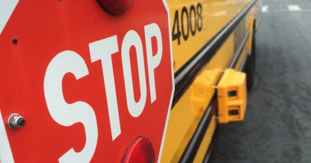
Montgomery County police issue 269 school bus citations during first week of school
BETHESDA, Md. - Montgomery County police say 269 citations were issued to drivers who illegally passed stopped school buses during the first week of the 2026‑2027 school year.
Stories are matched to places by what they name: a city and state, a county, a ZIP code or the publisher's home area. Headlines open on the publisher's site.
Local services in Charlestown
+ Add a businessNo businesses are listed for Charlestown yet.
Know a plumber, mechanic, food truck or shop that works here? Add it and it appears after a quick review.
ZIP codes for Charlestown
More places in Cecil County
Charlestown within Maryland
Local advertising
Reach people looking at Charlestown
A paid spot on this page, run through SpiderTaz Network local advertising. Free business listings stay in Local services.