City Franklin County · Massachusetts
Conway, MA
42.5138°N72.7025°W
- Primary ZIP
- 01341
- ZIP codes
- 1
- Nearest place
- South Deerfield 5.2 mi ESE
- Local time
- EDT · Saturday
- County
- Franklin County
About Conway
Nearby places
- South DeerfieldFranklin County · ZIP 01373 5.2 mi ESE
- DeerfieldFranklin County · ZIP 01342 5.2 mi ENE
- AshfieldFranklin County · ZIP 01330 5.6 mi W
- WhatelyFranklin County · ZIP 01093 6.2 mi SE
- Shelburne FallsFranklin County · ZIP 01370 6.4 mi NNW
- BucklandFranklin County · ZIP 01338 7.7 mi NNW
- GreenfieldFranklin County · ZIP 01302 7.9 mi NE
- GoshenHampshire County · ZIP 01032 7.9 mi WSW
- SunderlandFranklin County · ZIP 01375 8.0 mi ESE
- North HatfieldHampshire County · ZIP 01066 8.2 mi SSE
- WilliamsburgHampshire County · ZIP 01096 8.2 mi SSW
- MontagueFranklin County · ZIP 01351 8.9 mi ENE
- HaydenvilleHampshire County · ZIP 01039 9.1 mi S
- Lake PleasantFranklin County · ZIP 01347 9.8 mi ENE
- HatfieldHampshire County · ZIP 01038 10.0 mi SSE
- Turners FallsFranklin County · ZIP 01376 10 mi NE
- West HatfieldHampshire County · ZIP 01088 10 mi SSE
- LeverettFranklin County · ZIP 01054 11 mi ESE
- PlainfieldHampshire County · ZIP 01070 11 mi W
- LeedsHampshire County · ZIP 01053 11 mi S
Weather in Conway
Getting the latest National Weather Service report for Conway…
You can also open the forecast on weather.gov.
News for Conway
-

Elsewhere in Massachusetts
What happens next if Lindsay Clancy jury can't reach a verdict?
If the jury deadlocks in Lindsay Clancy trial, a mistrial could be declared. See what prosecutors and defense may do next.
-

Elsewhere in Massachusetts
New England Patriots
A.J. Brown will finally suit up for the Patriots in Week 1 vs. the Seahawks. What can we expect from the wide receiver's first game with Drake Maye?
-
Elsewhere in Massachusetts
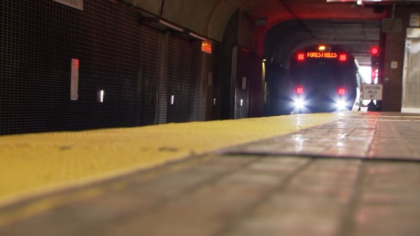
Does the T need track barriers to keep riders safe? New video highlights the issue
New video is raising fresh questions about safety on MBTA platforms as the T considers installing barriers between riders and train tracks in Boston.
Stories are matched to places by what they name: a city and state, a county, a ZIP code or the publisher's home area. Headlines open on the publisher's site.
Local services in Conway
+ Add a businessNo businesses are listed for Conway yet.
Know a plumber, mechanic, food truck or shop that works here? Add it and it appears after a quick review.
ZIP codes for Conway
More places in Franklin County
Conway within Massachusetts
Local advertising
Reach people looking at Conway
A paid spot on this page, run through SpiderTaz Network local advertising. Free business listings stay in Local services.