City Davis County · Iowa
Bloomfield, IA
40.7324°N92.3987°W
- Primary ZIP
- 52537
- ZIP codes
- 1
- Nearest place
- Pulaski 7.8 mi ESE
- Local time
- CDT · Saturday
- County
- Davis County
About Bloomfield
Nearby places
- PulaskiDavis County · ZIP 52584 7.8 mi ESE
- DrakesvilleDavis County · ZIP 52552 8.5 mi NW
- FlorisDavis County · ZIP 52560 9.6 mi NNE
- MiltonVan Buren County · ZIP 52570 14 mi ESE
- MoultonAppanoose County · ZIP 52572 15 mi WSW
- Lancaster, MOSchuyler County · ZIP 63548 16 mi SSW
- EldonWapello County · ZIP 52554 16 mi NE
- Coatsville, MOSchuyler County · ZIP 63535 17 mi SW
- UdellAppanoose County · ZIP 52593 17 mi WNW
- UnionvilleAppanoose County · ZIP 52594 17 mi WNW
- SelmaVan Buren County · ZIP 52588 17 mi ENE
- Downing, MOSchuyler County · ZIP 63536 17 mi S
- Glenwood, MOSchuyler County · ZIP 63541 18 mi SSW
- AgencyWapello County · ZIP 52530 19 mi NNE
- DoudsVan Buren County · ZIP 52551 19 mi ENE
- CantrilVan Buren County · ZIP 52542 19 mi ESE
- OttumwaWapello County · ZIP 52501 20 mi N
- BlakesburgWapello County · ZIP 52536 20 mi NNW
- Memphis, MOScotland County · ZIP 63555 22 mi SSE
- BataviaJefferson County · ZIP 52533 22 mi NE
Weather in Bloomfield
Getting the latest National Weather Service report for Bloomfield…
You can also open the forecast on weather.gov.
News for Bloomfield
-

Elsewhere in Iowa
Iowa State football vs. SEMO: How to watch the Cyclones' first game under Jimmy Rogers
The Jimmy Rogers era has arrived. Here's what to know about the Cyclones' 2026 season opener Saturday against Southeast Missouri State.
-
Elsewhere in Iowa
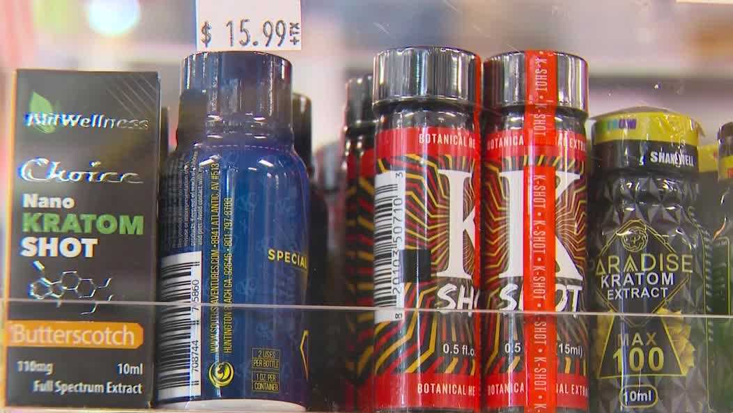
Iowa officials warn of rising kratom deaths as Gov. Reynolds calls for total ban
Three synthetic kratom compounds are now federally banned as Iowa considers broader crackdown.
-
Elsewhere in Iowa
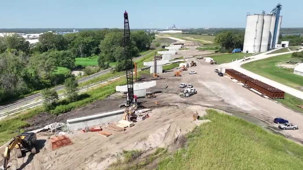
Southeast Connector road project enters final phase between Des Moines and Pleasant Hill
The Southeast Connector, a decades-long road project connecting downtown Des Moines to Pleasant Hill, is nearing completion with its final phase of construction underway.
Stories are matched to places by what they name: a city and state, a county, a ZIP code or the publisher's home area. Headlines open on the publisher's site.
Local services in Bloomfield
+ Add a businessNo businesses are listed for Bloomfield yet.
Know a plumber, mechanic, food truck or shop that works here? Add it and it appears after a quick review.
ZIP codes for Bloomfield
More places in Davis County
Bloomfield within Iowa
Local advertising
Reach people looking at Bloomfield
A paid spot on this page, run through SpiderTaz Network local advertising. Free business listings stay in Local services.