
City Montrose County · Colorado
Montrose, CO
38.4678°N107.8752°W
- Primary ZIP
- 81401
- ZIP codes
- 3
- Nearest place
- Olathe 11 mi NW
- Local time
- MDT · Saturday
- County
- Montrose County

About Montrose
Nearby places
- OlatheMontrose County · ZIP 81425 11 mi NW
- DeltaDelta County · ZIP 81416 21 mi NNW
- CrawfordDelta County · ZIP 81415 21 mi NE
- CimarronMontrose County · ZIP 81220 22 mi ESE
- LazearDelta County · ZIP 81420 22 mi NNE
- CoryDelta County · ZIP 81414 23 mi NNW
- AustinDelta County · ZIP 81410 23 mi NNW
- RidgwayOuray County · ZIP 81432 24 mi SSE
- HotchkissDelta County · ZIP 81419 25 mi NNE
- EckertDelta County · ZIP 81418 26 mi N
- CedaredgeDelta County · ZIP 81413 31 mi N
- PaoniaDelta County · ZIP 81428 31 mi NNE
- OurayOuray County · ZIP 81427 32 mi SSE
- PlacervilleSan Miguel County · ZIP 81430 33 mi SSW
- NorwoodSan Miguel County · ZIP 81423 33 mi SW
- RedvaleMontrose County · ZIP 81431 34 mi SW
- TellurideSan Miguel County · ZIP 81435 37 mi S
- NuclaMontrose County · ZIP 81424 39 mi WSW
- NaturitaMontrose County · ZIP 81422 41 mi WSW
- OphirSan Miguel County · ZIP 81426 42 mi S
Weather in Montrose
Getting the latest National Weather Service report for Montrose…
You can also open the forecast on weather.gov.
News for Montrose
-

Elsewhere in Colorado
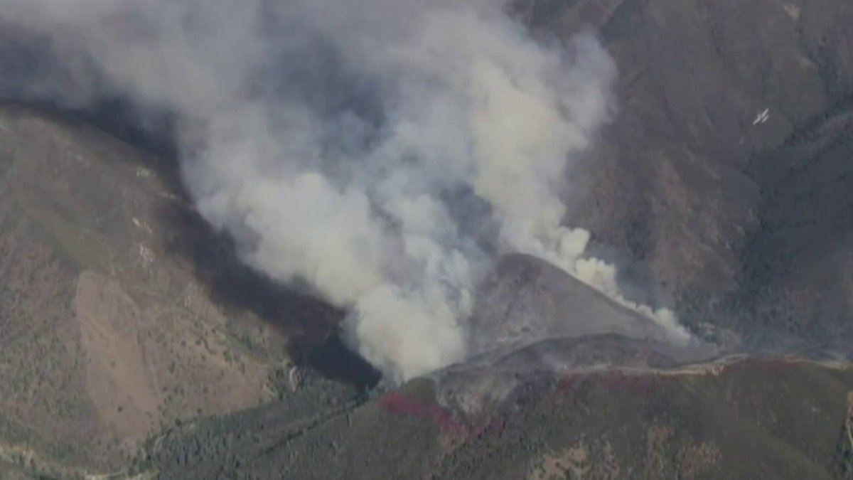
Colorado Fire: Evacuations ordered for fire burning in Mariposa County near Yosemite
A vegetation fire burning in Mariposa County on Tuesday prompted evacuation orders.
-
Elsewhere in Colorado
Colorado Fire: Wildfire near Yosemite burns 250 acres, prompts evacuations
Firefighters are responding to a wildfire burning near Yosemite National Park in Mariposa County.
-

Elsewhere in Colorado
Trump inks deal with 9 pharmaceutical companies to lower drug costs The White House said the agreements will reduce costs to treat Parkinson's disease, macular degeneration, glaucoma, liver disease and other illnesses. Aug 31
The White House said the agreements will reduce costs to treat Parkinson's disease, macular degeneration, glaucoma, liver disease and other illnesses.
Stories are matched to places by what they name: a city and state, a county, a ZIP code or the publisher's home area. Headlines open on the publisher's site.
Local services in Montrose
+ Add a businessNo businesses are listed for Montrose yet.
Know a plumber, mechanic, food truck or shop that works here? Add it and it appears after a quick review.
ZIP codes for Montrose
More places in Montrose County
Montrose within Colorado
Local advertising
Reach people looking at Montrose
A paid spot on this page, run through SpiderTaz Network local advertising. Free business listings stay in Local services.