
City Pulaski County · Arkansas
Sherwood, AR
34.8593°N92.2142°W
- Primary ZIP
- 72120
- ZIP codes
- 1
- Nearest place
- Little Rock Air Force Base 4.8 mi NE
- Local time
- CDT · Saturday
- County
- Pulaski County

About Sherwood
Nearby places
- Little Rock Air Force BasePulaski County · ZIP 72099 4.8 mi NE
- JacksonvillePulaski County · ZIP 72078 5.0 mi ENE
- North Little RockPulaski County · ZIP 72199 7.0 mi SSW
- Little RockPulaski County · ZIP 72209 8.6 mi SSW
- College StationPulaski County · ZIP 72053 10 mi S
- MaumellePulaski County · ZIP 72113 11 mi W
- CabotLonoke County · ZIP 72023 12 mi ENE
- Sweet HomePulaski County · ZIP 72164 12 mi S
- ScottPulaski County · ZIP 72142 13 mi SSE
- MayflowerFaulkner County · ZIP 72106 13 mi NW
- ViloniaFaulkner County · ZIP 72173 15 mi N
- RolandPulaski County · ZIP 72135 17 mi W
- LonokeLonoke County · ZIP 72086 17 mi ESE
- WrightsvillePulaski County · ZIP 72183 18 mi S
- HensleySaline County · ZIP 72065 19 mi S
- AustinLonoke County · ZIP 72007 19 mi NE
- WardLonoke County · ZIP 72176 19 mi ENE
- El PasoWhite County · ZIP 72045 19 mi NNE
- MabelvaleSaline County · ZIP 72103 19 mi SSW
- ConwayFaulkner County · ZIP 72034 20 mi NW
Weather in Sherwood
Getting the latest National Weather Service report for Sherwood…
You can also open the forecast on weather.gov.
News for Sherwood
-
Elsewhere in Arkansas
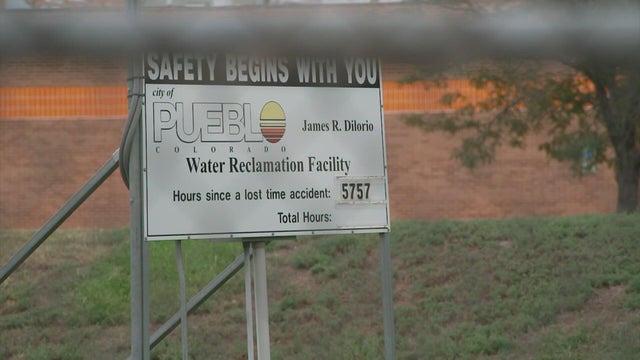
Sunlight working to kill E.coli, other pathogens in river after wastewater dump The sun is helping clean up a mess after 4.2 million gallons of untreated sewage ended up in the Arkansas River in southern Colorado.
The sun is helping clean up a mess after 4.2 million gallons of untreated sewage ended up in the Arkansas River in southern Colorado.
-

Elsewhere in Arkansas
Arkansas Dem Senate Candidate Climbs Into Facebook Comments To Deny She Said She 'Would Vote To Defund ICE'
The Democratic nominee for Senate in Arkansas, Hallie Shoffner, has given several different explanations about her June statement that she "would vote to defund ICE," now saying t…
Stories are matched to places by what they name: a city and state, a county, a ZIP code or the publisher's home area. Headlines open on the publisher's site.
Local services in Sherwood
+ Add a businessNo businesses are listed for Sherwood yet.
Know a plumber, mechanic, food truck or shop that works here? Add it and it appears after a quick review.
ZIP codes for Sherwood
More places in Pulaski County
Sherwood within Arkansas
Local advertising
Reach people looking at Sherwood
A paid spot on this page, run through SpiderTaz Network local advertising. Free business listings stay in Local services.