
City Saint Clair County · Alabama
Wattsville, AL
33.6814°N86.2797°W
- Primary ZIP
- 35182
- ZIP codes
- 1
- Nearest place
- Pell City 6.8 mi SSW
- Local time
- CDT · Saturday
- County
- Saint Clair County

About Wattsville
Nearby places
- Pell CitySaint Clair County · ZIP 35125 6.8 mi SSW
- RiversideSaint Clair County · ZIP 35135 6.9 mi SE
- OdenvilleSaint Clair County · ZIP 35120 7.4 mi W
- RaglandSaint Clair County · ZIP 35131 7.8 mi ENE
- Cook SpringsSaint Clair County · ZIP 35052 7.9 mi SW
- SpringvilleSaint Clair County · ZIP 35146 10.0 mi WNW
- AshvilleSaint Clair County · ZIP 35953 11 mi N
- LincolnTalladega County · ZIP 35096 11 mi ESE
- MargaretSaint Clair County · ZIP 35112 11 mi W
- CropwellSaint Clair County · ZIP 35054 12 mi S
- MoodySaint Clair County · ZIP 35004 15 mi WSW
- OhatcheeCalhoun County · ZIP 36271 16 mi ENE
- SteeleSaint Clair County · ZIP 35987 18 mi N
- ClayJefferson County · ZIP 35048 18 mi W
- TrussvilleJefferson County · ZIP 35173 19 mi W
- VandiverShelby County · ZIP 35176 19 mi SW
- BynumCalhoun County · ZIP 36253 19 mi ESE
- EastabogaCalhoun County · ZIP 36260 19 mi ESE
- TalladegaTalladega County · ZIP 35161 20 mi SSE
- LeedsJefferson County · ZIP 35094 20 mi WSW
Weather in Wattsville
Getting the latest National Weather Service report for Wattsville…
You can also open the forecast on weather.gov.
News for Wattsville
-

Elsewhere in Alabama
New book excerpt details Lane Kiffin’s messy 2016 split with Alabama. ‘He was lonely.’
LSU’s Lane Kiffin had a messy split with Alabama and Nick Saban in 2016. That chapter of his career is detailed in a excerpt of the forthcoming book, “Lane Being Lane,” published …
-
Elsewhere in Alabama
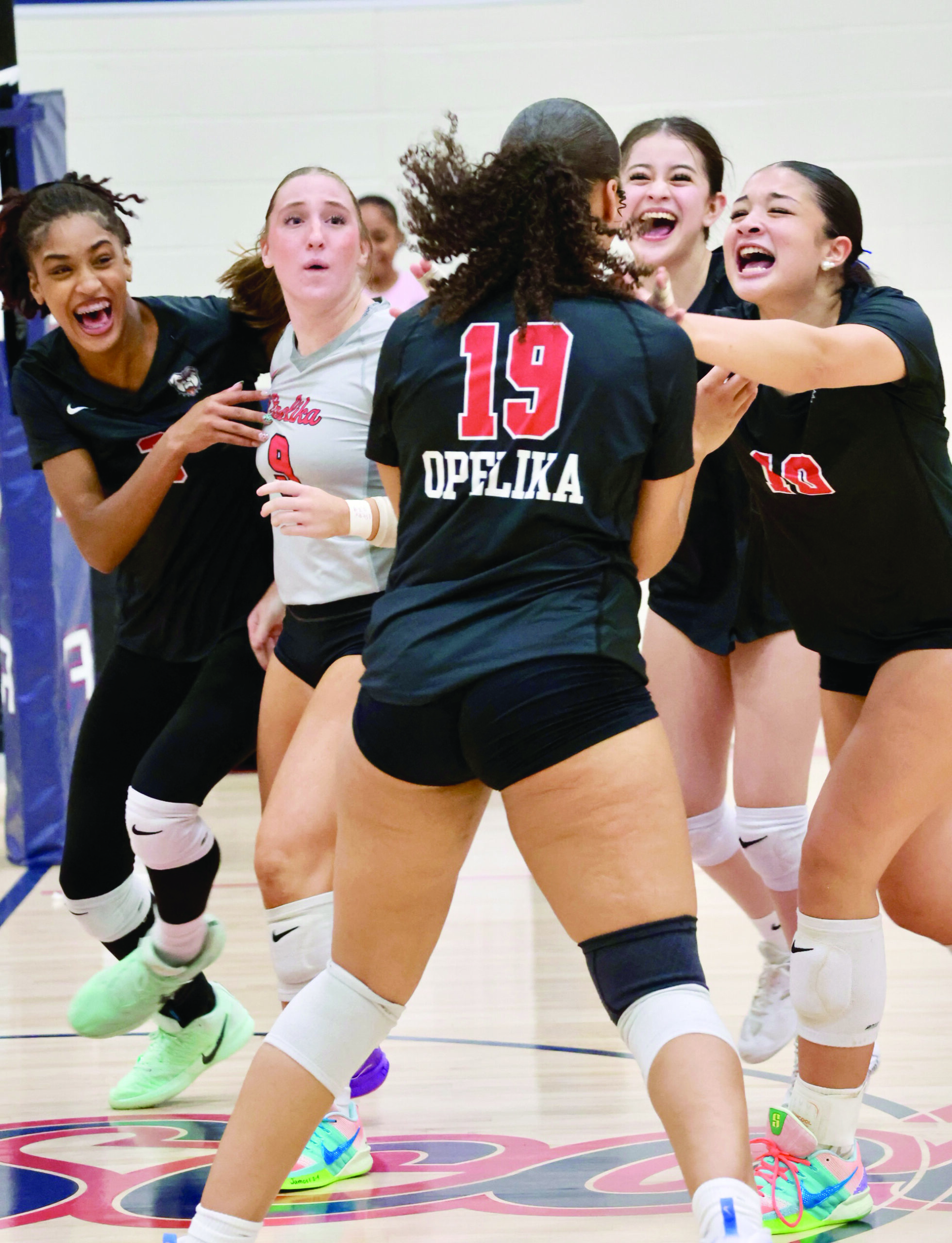
Opelika outlasts Lee-Scott in five-set thriller
BY DANIEL SCHMIDTTHE OBSERVER AUBURN — Opelika High School won a thrilling shootout over Lee-Scott Academy on Aug. 31, winning 3-2 at Samford Gymnasium.The Lady Bulldogs (2-2) won…
-
Elsewhere in Alabama
Southern Christian wins shootout at Baker County
BY JEFF MILLERFOR THE OBSERVER OPELIKA — Southern Christian Athletics remained undefeated, traveling to Georgia and defeating Baker County High School 66-46 in an offensive shooto…
Stories are matched to places by what they name: a city and state, a county, a ZIP code or the publisher's home area. Headlines open on the publisher's site.
Local services in Wattsville
+ Add a businessNo businesses are listed for Wattsville yet.
Know a plumber, mechanic, food truck or shop that works here? Add it and it appears after a quick review.
ZIP codes for Wattsville
More places in Saint Clair County
Wattsville within Alabama
Local advertising
Reach people looking at Wattsville
A paid spot on this page, run through SpiderTaz Network local advertising. Free business listings stay in Local services.